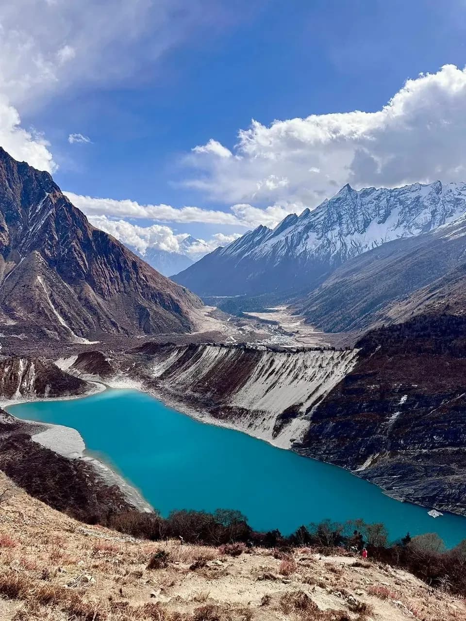
Langtang Valley
Langtang Valley is outside the Annapurna region I guide, so I don't run it myself. My team at 6knepaltreks arranges it with a licensed guide.
Langtang Valley at a glance
- Highest point
- 4,984m
- Days
- 7-10
- Best months
- Mar-May, Sep-Nov
- Difficulty
- Moderate
- Where
- Langtang National Park
- Starts from
- Kathmandu
- Getting there
- Bus or chartered vehicle from Kathmandu to Syabrubesi, 6 to 8 hours
- Permits
- Langtang National Park Entry Permit
- TIMS Card (Trekkers' Information Management System)
Nepal's most accessible high-altitude valley trek: Kathmandu to a glacial landscape of yak pastures, ancient gompas, and glacier viewpoints in 7-10 days, with a 5,050m summit option.
Overview
Langtang is a beautiful, accessible high-altitude valley north of Kathmandu, but it sits outside the Annapurna region I personally guide from Pokhara, so I don't run this trek myself.
Here's an honest overview of what the route involves. If Langtang is the one you want, my team at 6knepaltreks can arrange it with a licensed guide. Just tap the booking button.
Who this trek is for
Langtang Valley is appropriate for trekkers with good baseline fitness and some prior multi-day hiking experience. The sleeping altitude at Kyanjin (3,870m) is serious enough that acclimatisation awareness matters. This is not a trek for someone who has never been above 3,000m and does not know how their body responds. For the Tsergo Ri summit at 4,984m, previous high-altitude experience above 4,000m is preferable. The logistical simplicity compared to Everest or Annapurna makes it a strong choice for a first serious altitude trek.
Best views & moments
- Kyanjin Gompa at 3,870m, an ancient monastery with glacier views and a working yak-cheese factory
- Tsergo Ri at 4,984m, a non-technical summit offering 360-degree views of Langtang Lirung, Shishapangma, and the Tibetan plateau
- The rebuilt Langtang village, a moving reminder of 2015 earthquake recovery alongside extraordinary mountain setting
- Yak herds grazing on glacial moraine under 7,000m peaks, a landscape unlike any other in accessible Nepal
- Tamang cultural villages and Buddhist gompa architecture throughout the valley
- Fresh yak cheese and butter tea at Kyanjin, a genuine local product that is genuinely excellent
- Ganja La Pass option (5,130m) linking to the Helambu region for experienced trekkers wanting a full circuit
Route & terrain
The trail from Syabrubesi enters the Langtang Khola gorge almost immediately, initially through subtropical forest with mossy cliffs and suspension bridge crossings over the churning river. The valley walls are steep enough that direct sunlight reaches the trail only in mid-morning, giving the lower section a cool, shaded character even in summer. The forest transitions from subtropical broadleaf to rhododendron and pine, then to fir and juniper above 3,000m.
Past Ghodatabela the gorge opens into the broader valley that characterises Langtang above 3,200m. The 2015 earthquake destroyed much of this section. The rebuilt Langtang village and the memorials to those lost stand as reminders of what happened while the mountains above remain unchanged. The rebuilt village has good teahouses and a strong community spirit.
Kyanjin Gompa at 3,870m sits on a glacial moraine terrace at the edge of the inhabited zone. Above the monastery the valley becomes a high-altitude wilderness of moraine, ice, and boulder fields leading to the main Langtang glacier. Day hikes from Kyanjin (to the glacier viewpoint, to Kyanjin Ri at 4,773m, and for the fit and well-acclimatised to Tsergo Ri at 4,984m) are where the trek delivers its most dramatic rewards. Tsergo Ri involves straightforward scree and boulder climbing with no technical sections but demands full acclimatisation and an early-morning start.
Sources & references
Want to do Langtang Valley?
This isn't a trek I guide myself. My team at 6knepaltreks arranges it with a licensed guide.